

Welcome to “Naijaclass Academy“, where you can get the correct solved WAEC 2025 Geography Practical and Physical Geography question and answer for Objective, Essay a day before the exam.
WAEC 2025 Geography Practical and Physical Geography

Thursday, 29th May 2025
Geography 3 (Practical and Physical Geography): 2:00pm – 3:50pm
(1c)
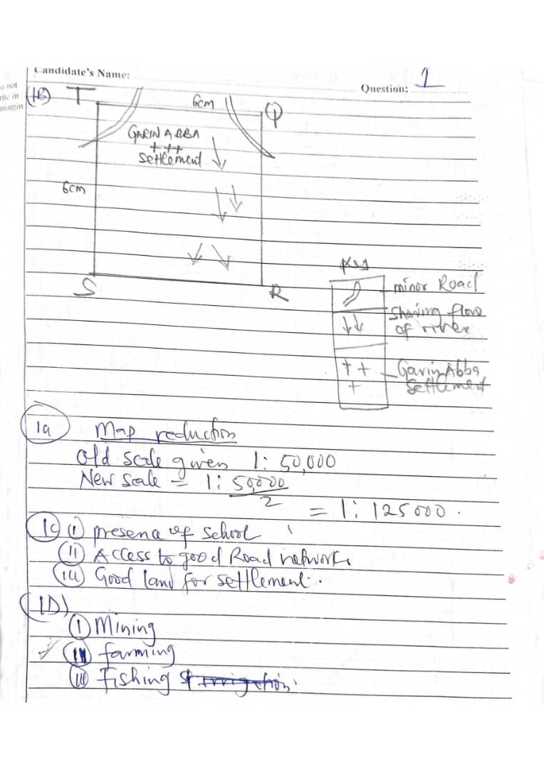
(i)Transport Junction: KARLAHI is located at the intersection of major and minor roads, making it a central hub for transportation and communication within the mapped area.
(ii)Largest Settlement: It is visibly the largest settlement on the map, indicating a higher population density and more developed infrastructure compared to other settlements.
(iii)Presence of Institutions: KARLAHI hosts key facilities such as a school, a market, and possibly other services (as shown by symbols), which attract people from surrounding areas for education, trade, and services.
(1d)
(i)Farming and Agriculture: The map shows extensive farmland and scattered rural settlements, indicating that crop farming and possibly livestock rearing are primary occupations.
(ii)Trading/Commerce: The presence of markets (indicated by market symbols) shows that trading is a significant economic activity, with goods likely being exchanged within and outside the region.
(iii)Education: The presence of schools (school symbol) suggests that teaching and educational services contribute to the local economy, providing employment and attracting students from nearby villages.
===============================================
*GEOGRAPHY PRACTICAL*
*NUMBER THREE*
(3a)
A lithosphere is the solid outer layer of the Earth, consisting of the crust and the uppermost part of the mantle. It is rigid and forms the Earth’s landforms, such as mountains, valleys, and ocean basins.
(3b)
(PICK ANY THREE)
(i) It is the outermost solid layer of the Earth.
(ii) It includes both the crust and the upper part of the mantle.
(iii) It is rigid and brittle in nature.
(iv) It is broken into tectonic plates that move over the asthenosphere.
(v) It contains both continental and oceanic crust.
(vi) It plays a role in the formation of landforms through geological processes like folding and faulting.
(3c)
(PICK ANY FIVE)
(i) Source of minerals: The lithosphere contains valuable minerals like gold, iron, and copper used in industries.
(ii) Supports agriculture: It provides soil which is essential for growing crops and feeding livestock.
(iii) Habitat for living things: Humans, animals, and plants live on the land provided by the lithosphere.
(iv) Foundation for infrastructure: Buildings, roads, bridges, and other structures are built on the lithosphere.
(v) Source of fossil fuels: Resources like coal, oil, and natural gas used for energy come from the lithosphere.
(vi) Controls geological activities: Processes like earthquakes and volcanic eruptions originate in the lithosphere.
(vii) Supplies raw materials: Materials like clay, sand, and limestone used for making cement and glass come from it.
(viii) Supports scientific study: Rocks and fossils found in the lithosphere help scientists understand Earth’s history.
===============================================
NUMBER FOUR
(4a) An artesian well is a well drilled into a confined aquifer where water rises to the surface naturally due to pressure without the need for pumping.
(4b)
(PICK ANY FOUR)
(i) Presence of a confined aquifer: This is a water-bearing layer of permeable rock or sediment that is sandwiched between two layers of impermeable rock, which traps the water under pressure.
(ii) Inclined aquifer structure: The aquifer must be tilted so that water can enter at a higher elevation and flow down to where the well is drilled, creating the necessary pressure.
(iii) Recharge area at a higher elevation: Water must be able to enter the aquifer at a location above the point where the well is drilled, increasing pressure due to gravity.
(iv) Impermeable layers above and below the aquifer: These layers prevent water from escaping, allowing pressure to build up within the confined aquifer.
(v) Adequate water supply: There must be consistent rainfall or surface water sources feeding into the recharge area to maintain pressure in the aquifer.
(vi) Proper drilling into the confined aquifer: The well must penetrate the pressurized aquifer correctly to allow the water to rise naturally to the surface without the need for pumping.
(4c)
(PICK ANY TWO)
(i) Provides a reliable water supply: Artesian wells offer a consistent source of clean groundwater, especially in areas where surface water is scarce or unreliable.
(ii) Requires no pumping in some cases: Because of the natural pressure in the confined aquifer, water can flow to the surface without the need for mechanical pumps, saving energy and maintenance costs.
(iii) Supplies water for irrigation: Farmers can use artesian wells to irrigate crops, especially in dry regions where rainfall is insufficient.
(iv) Supports domestic and industrial use: The water from artesian wells can be used for drinking, cooking, cleaning, and even for industries that need large quantities of water.
(v) Less prone to contamination: Since the aquifer is confined between impermeable layers, the water is better protected from surface pollutants, making it safer for human use.
===============================================
*PRACTICAL GEOGRAPHY*
*NUMBER SEVEN*
(7a)
PICK ANY THREE
(I) Deflation: The removal of loose particles from the ground surface by wind action.
(ii) Abrasion: The wearing away of surfaces by wind-driven particles.
(iii) Saltation: The bouncing of particles on the ground surface due to wind impact.
(iv) Suspension: The carrying of fine particles in the air by wind.
(v) Creep: The slow downhill movement of larger particles on the ground surface due to wind action.
(7bi)
PICK ANY THREE
(i) Both are landforms created by wind erosion.
(ii) Both have a streamlined shape due to the erosive action of wind.
(iii) Both are found in arid and semi-arid regions.
(iv) Both are formed by the removal of sediments by wind erosion.
(v) Both have a desert-like landscape.
(7bii)
PICK ANY THREE
(I) A zeugen is a small, isolated, streamlined hill, while a yardang is a larger, elongated, streamlined hill.
(ii) A zeugen has a more rounded shape, while a yardang has a more pointed or sharp shape.
(iii) A zeugen is formed by the deposition of wind-blown sediments, while a yardang is formed by the removal of sediments by wind erosion.
(iv) A zeugen is typically found in areas with strong winds and limited vegetation, while a yardang is found in areas with strong winds and more vegetation.
(v) A zeugen is usually less than 100 meters high, while a yardang can be several hundred meters high.
===============================================
*WAEC GEOGRAPHY PRACTICAL*
*NUMBER SIX*
(6a)
A flood plain is a flat, low-lying area of land found along the sides of a river, which is periodically flooded when the river overflows its banks. It is formed mainly by deposition of sediments during flooding.
(6b)
[DRAW THE DIAGRAM]
=CHARACTERISTICS OF A FLOOD PLAIN=
(i) Flood plains are usually broad, flat areas adjacent to a river channel.
(ii) The soil is often very fertile due to the regular deposition of nutrient-rich sediments during floods.
(iii) Flood plains experience periodic flooding when the river overflows its banks.
(iv) They often have meanders (curves or bends) in the river channel.
(v) The area supports lush vegetation because of the availability of water and fertile soil.
(vi) The surface is composed of fine alluvial deposits like silt, clay, and sand.
(vii) Raised banks or levees may form along the edges of the river channel from sediment deposits.
=MODE OF FORMATION OF A FLOOD PLAIN=
(i) When a river exceeds its bank capacity, water spills onto the surrounding land, causing flooding.
(ii) As the floodwater spreads out over the flat land, it slows down and deposits sediments carried from upstream.
(iii) Over many floods, layers of silt, clay, and fine sand accumulate, building up the flood plain.
(iv) The river’s sideways erosion widens the valley floor, contributing to the flood plain’s flatness.
(v) Coarser sediments settle first near the river banks during floods, forming natural levees.
(vi) The flood plain gradually extends as more sediments are deposited with each flood event.
===============================================
*WAEC GEOGRAPHY PRACTICAL*
*NUMBER FOUR*
(4a)
An artesian well is a type of well drilled into a confined aquifer where water is under natural pressure, causing it to rise to the surface without pumping.
(4b)
(PICK ANY FOUR)
(i) Presence of a confined aquifer: A water-bearing rock layer must be trapped between two impermeable layers.
(ii) Adequate water recharge: There must be a sufficient source of water (e.g., rainfall) at a higher elevation to recharge the aquifer.
(iii) Impermeable layers above and below: These prevent water from escaping, increasing pressure inside the aquifer.
(iv) Aquifer must be inclined or tilted: So that the recharge zone is higher than the discharge point.
(v) Sufficient water accumulation over time: This builds up the pressure needed for the water to rise naturally.
(vi) Proper geological structure: Folds or basins help trap water in the confined aquifer, aiding artesian flow.
(4c)
(PICK ANY TWO)
(i) Provides a constant water supply: Useful for domestic, agricultural, and industrial needs.
(ii) Does not require pumping: Saves energy and reduces operational costs.
(iii) Reliable during dry seasons: Offers water when surface sources may dry up.
(iv) Less risk of contamination: The water is drawn from deep, protected layers.
(v) Supports irrigation: Useful for watering crops in dry or semi-arid areas.
(vi) Can supply clean drinking water: If properly maintained, the water is often clean and safe.


Thanks for the help I would have written nothing without you 💯